This part of the journey took twelve days to complete. After the long day on Katahdin, Squarepeg and I hiked 10 miles to Abol Bridge. The mostly flat terrain was welcome after the rocky and vertical mountain climb from the day prior. The first rain of the trip occurred shortly after the sunset. No campsites were available at Abol Pines Campground and we cowboy camped on the Abol Bridge Campground’s porch, gladly paying for the privilege of having cover to avoid the rain.
The next morning I awoke with the birds and the first light. Realizing the unique opportunity, I quickly grabbed my iPhone and small tripod to view the sunrise from Abol Bridge. The best view of Mount Katahdin is from this vantage point according to the locals. When I visited last fall during peak leaf season, many people lined the bridge to see the majestic mountain during the golden hour as the sun set. This time I had the entire bridge to myself and recorded a time-lapse video of the overcast sky getting brighter. Around 5 am, two creatures began swimming across the river about a half-mile away. At first, I could not identify what was taking an early morning swim, but as the figures reached the half-way point the shapes were unmistakable: a mother moose and her calf. Although excited to see my first moose in the wild, I remained on my distant and safe viewpoint on the bridge. Soon the momma moose and child ran into the woods and across the road 50 yards south of the bridge were I remained filming the sunrise. While there was a brief momentary lapse of reason to run towards the moose and take a picture, my legs remained planted on my distant and safe viewpoint. While not having my first cup of coffee yet nor any nourishment, I swear Pamola said from the top of Mount Katadhin “no Instagram worthy picture is worth dying for.” I had to restrain myself from reminding Pamola not to end a sentence with a preposition. Then another moment of reason came over me: Correcting an evil spirit was as unwise as chasing a seven foot tall moose for a picture into the woods. Perhaps I am more of a morning person than I given myself credit.
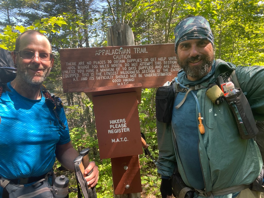
After having a subpar breakfast at the Abol Bridge Campground Restaurant, Squarepeg and I entered the Hundred Mile Wilderness. The warning sign from the Maine Appalachian Trail Club reminded us that no opportunity existed for resupply for the next hundred miles and to carry 10 days worth of food.

This sign is a little out of date. Logging roads cross the wilderness creating opportunities for local hiker lodges to create food drops or shuttle people (for a fee) to resupply. We invested for a food drop from the AT Lodge, so we only had to carry 5 days of food. The first thru hiker, Earl Shaffer, had run into a logging crew that fed him generously during his thru hike. The MATC missed other food opportunities existed as well. Both of us had multi tools and if necessary, the chattering red squirrels could have made a tasty treat. Furthermore, hasn’t the MATC heard of the Donner Party? We had plenty of hot sauce!
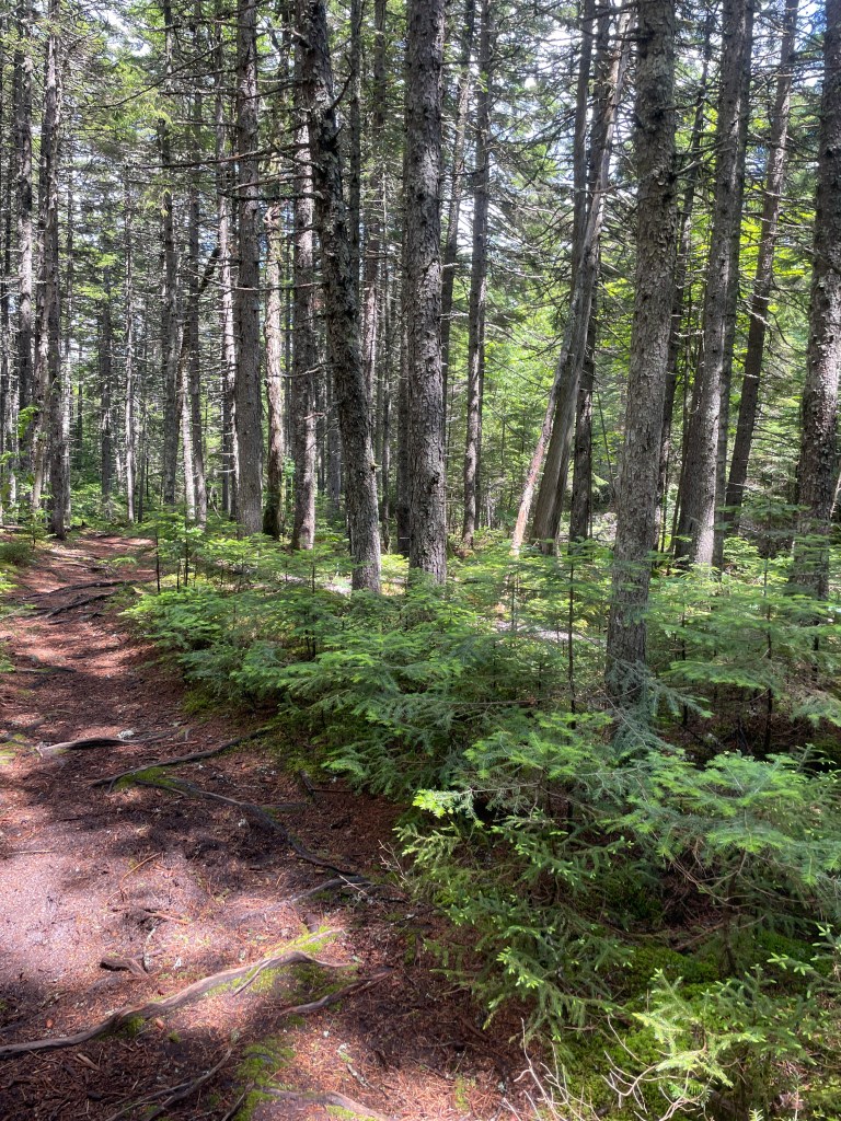
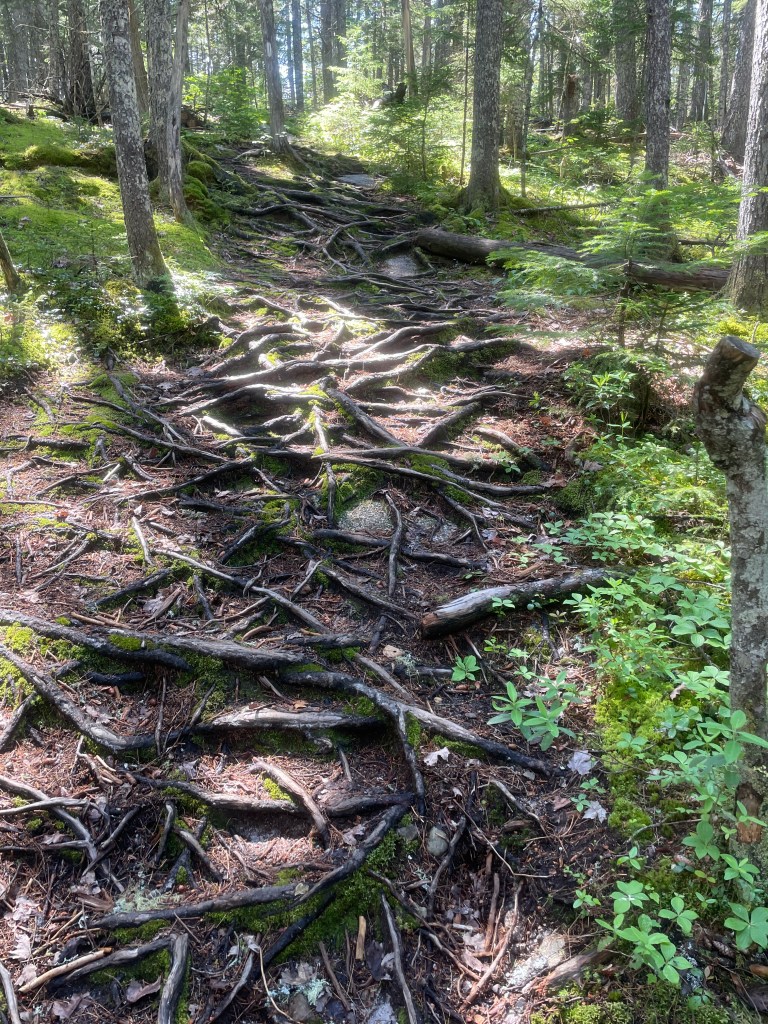
My initial impression of the 100 Mile Wilderness was one of awe. The forest was lush with ferns and tall trees. The dark brown forest floor contrasted against green plant life. Most noticeable was the quiet. No sound of man was present. No traffic nor construction was in the background. After growing accustomed to hearing distance, man-made noise while hiking in the mid Atlantic, I kept waiting for the Ewoks to appear as they did in one the the Star War Sequels. Absent was the simultaneous firing of fireworks and shotguns like I heard outside of Palmerton, PA last year at sunset. I’ll take a possible Ewok surprise over the Pennsylvania hootenanny any day!

Our strategy through the 100 Mile Wilderness was to keep mileage consistent and reasonable in order to build the strength of our trail legs. Each day we did no more than 10 miles, except for one exception when we hiked 16 miles through flat terrain in the middle. Rest is important, especially when starting a thru hike and we took a zero day at Cooper Brook Falls. Squarepeg and I had been hiking for a week when we rested at a serene water fall, which reminded me of a spa.
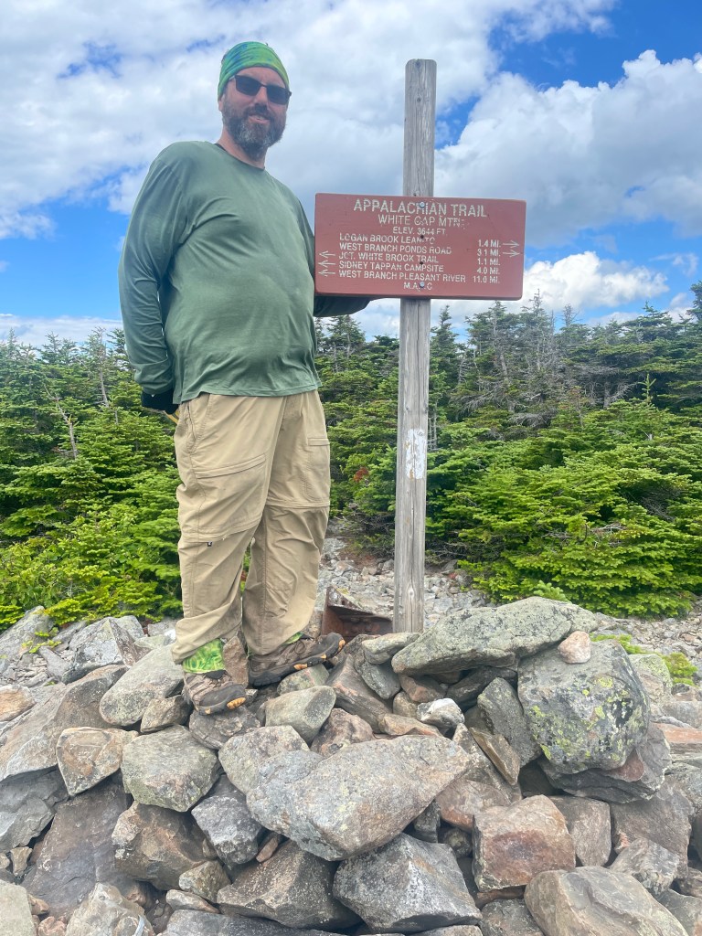
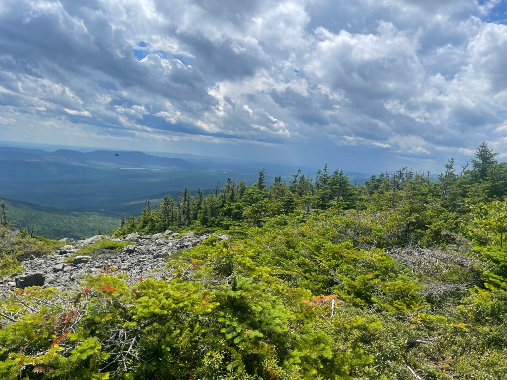
After getting our resupply, we moved into the mountainous section of the 100 Mile Wilderness. White Cap Mountain was steep and a very slow summit. Last fall, my summit had been during a rain storm with 10 feet of visibility in the fog. This time the views were spectacular and clear!
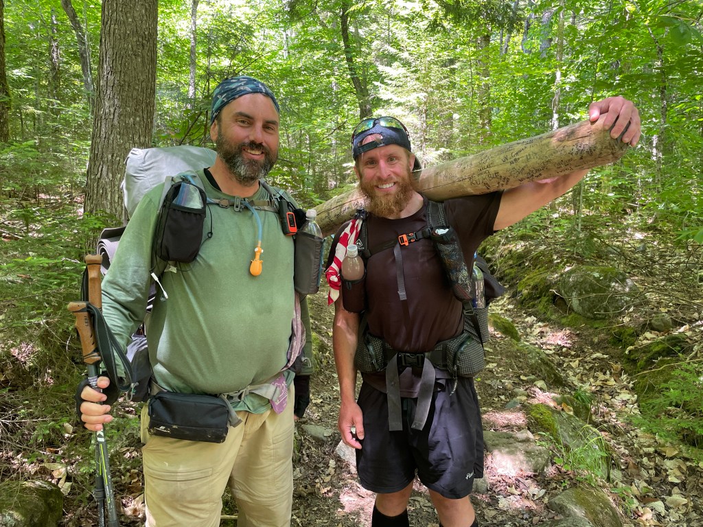
Another highlight was meeting Larry the Log, who carried a log on his shoulder for his hike from Georgia and who summited a few days later. He carried the log to raise awareness for Veteran’s issues and had vets he met sign the log.

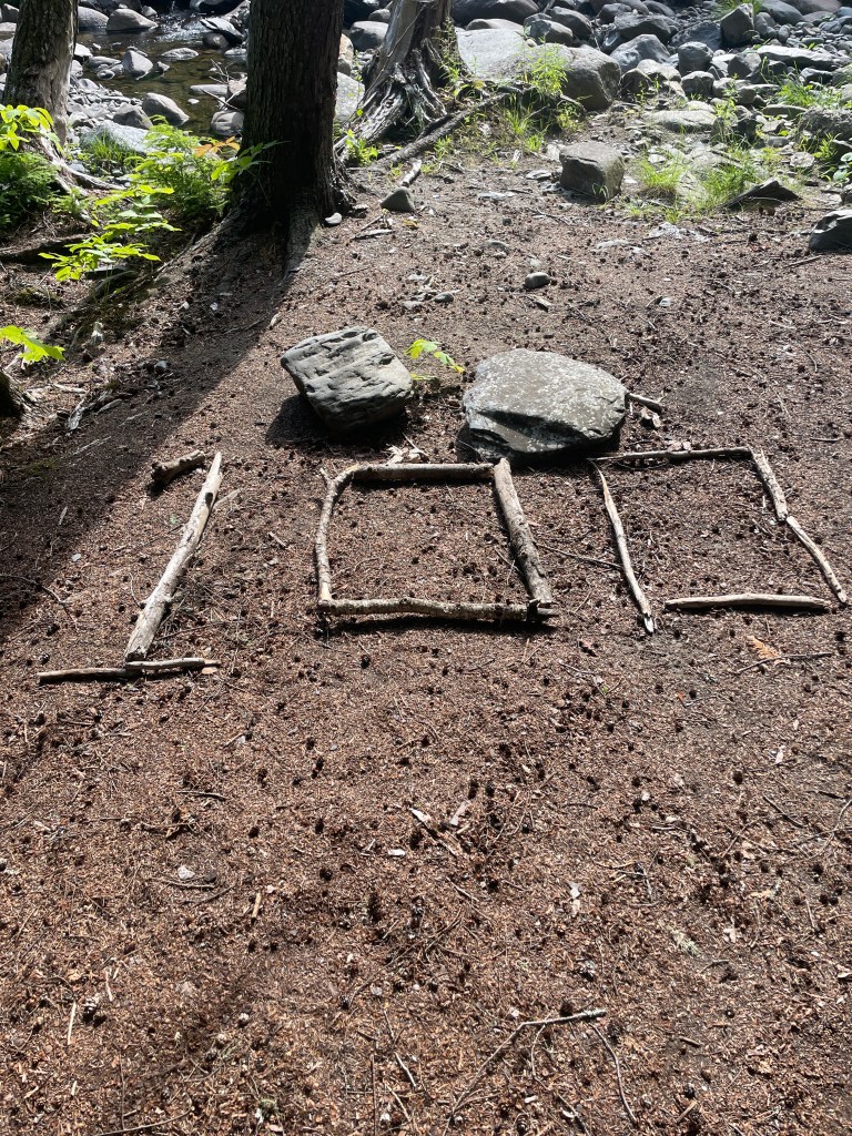
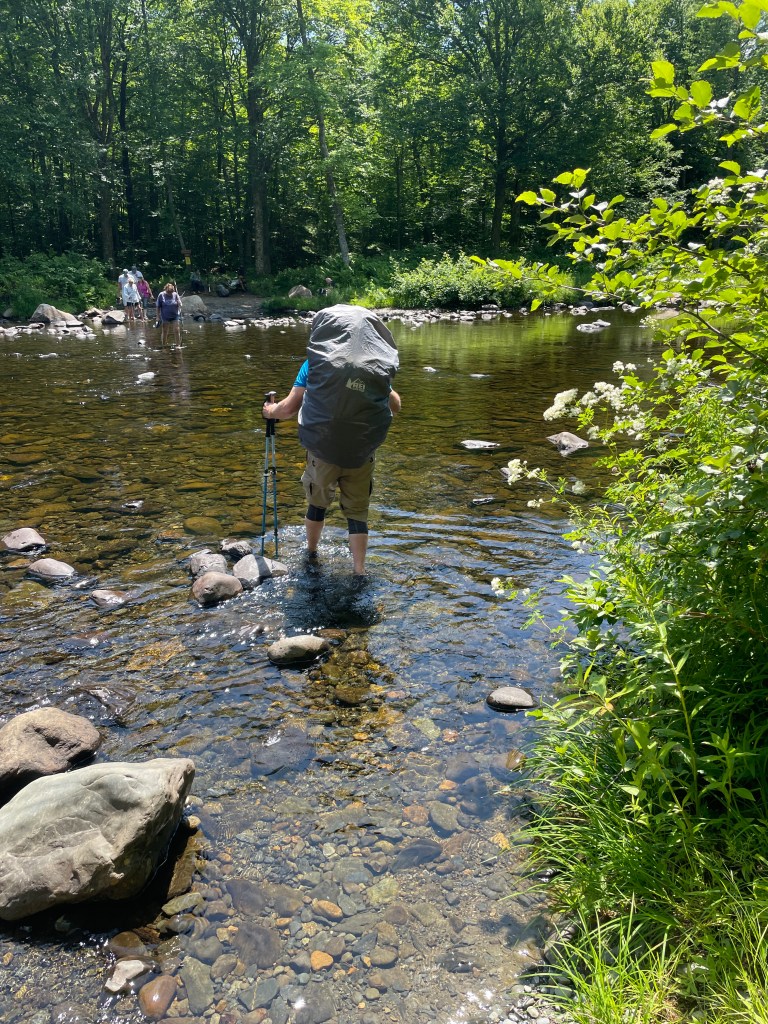

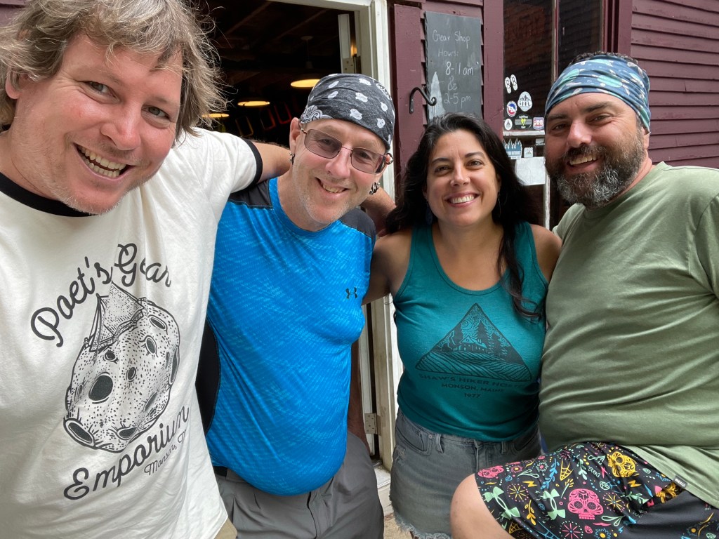
Other highlights included fording or fjording the Pleasant River, hiking through an active beaver area, reaching the 100 miles hiked marker, and reaching the end of the 100 Mile Wilderness in Monson! As a reward, we spent a few days at Shaw’s Hiker Hostel.
